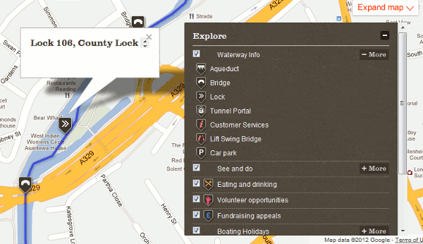
First cycle routes and now canals. Google is collaborating with the Canal and River Trust to provide a Google Map guide to the UK’s canal network called In Your Area (http://canalrivertrust.org.uk/in-your-area). It is not available as part of the standard Google Maps. The map allows you to enter your address or postcode to find the nearest canal. The map shows the locations of canals, canal locks and bridges and also volunteering opportunities, places to eat and drink and boating services and moorings.

It is early days and not everything is marked up on the map, or at least it isn’t for the Kennet and Avon Canal in Reading. Also planned for later this year is the addition of ‘Street View’ images of the canal and river network. (Please, no lurking in the bushes by the side of the tow paths and pushing the Google cycles into the canal!)